


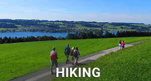


The about 11 km long trail is a beautiful half-day hike and leads to the 786 m high Tannberg, which forms the state border between Salzburg and Upper Austria.
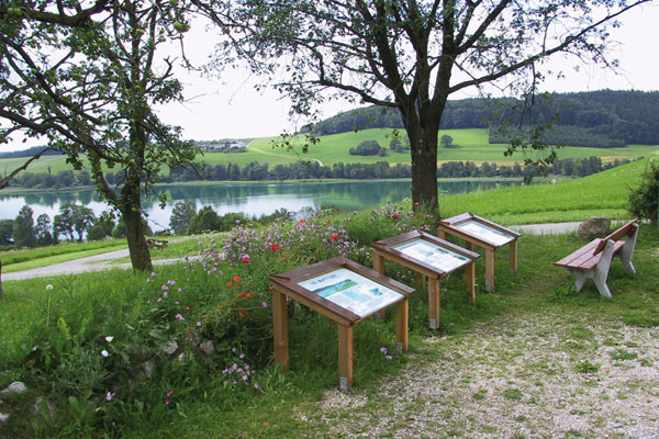
The starting point is the information board in the centre of Lochen am See. From there, the trail leads via Stullerding, Gunzing and the village of Tannberg to the highest point. At Tannberg Inn you have a magnificent view of Salzburg Seenland and the neighbouring Innviertel.
The way back is via Petersham and Felbach to Lochen am See. The trail leads mainly through the forest.
INFORMATION:
Parking space: at the community, primary schools and Bräugasthof
Directions: Approx. 11.1 km, walking time approx. 3.5 - 4 hours, starting point in the centre of Lochen am See at the information board, forest path therefore not suitable for prams.
Refreshment stop: Tannberg Inn, Rathmacher Farm
WC: Public WC at the cemetery
Sightseeing: Panoramic view into Salzburg Seenland, Gebertsham Church
Contact:
TVB Lochen am See
T. +43 7745 8255
lochen@salzburger-seenland.at