
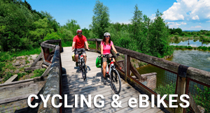

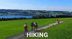


Length: 18 km
Altitude metres: 209 m
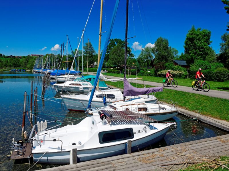
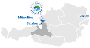
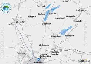
Start: Seekirchen lido car park - Parking spaces are located underneath the tracks.
The path leads up to the Seeburg Castle and in the direction of Seewalchen, then on to Bayerham and Zell. The route continues north across fields in the direction of Huttich: here, part of the Nature reserve Wenger Moor drive around. In the moor area south of Weng, small stops are worthwhile if you want to learn more about the unique fauna and flora. Shortly after the moor, the magnificent view of the Wallersee opens up again. The route continues leisurely via Maierhof to the small marina on the eastern bay of the lake at Neumarkt.
Along the Wallersee south bank, the trail passes small holiday cottages and beautiful resting places. South of the municipality Henndorf we go to Fischtagging, where the Fischach stream leaves the lake. A good opportunity to take a look at the lock that allows boat traffic between the Wallersee and the Fischach. From there it is only a short distance through Seekirchen to the starting point.
We will be happy to send you our cycling map by post.
To the order